

Jiangxi Maps
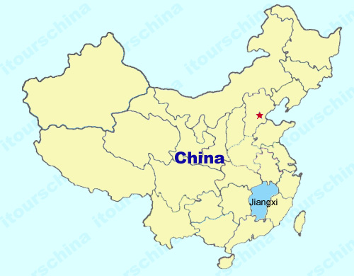
Jiangxi province is located in the middle and lower reaches of the Yangtze River, neighboring Zhejiang, Fujian, Guangdong, Hunan, Hubei and Anhui provinces. Jiangxi covers an area of over 160000 square kilometers, surrounded on three sides by mountains and hills, with hilly lands occupying its central part and a vast plain lying on the northern part. See Jiangxi maps as below.
My Questions *We welcome and appreciate your questions & reviews